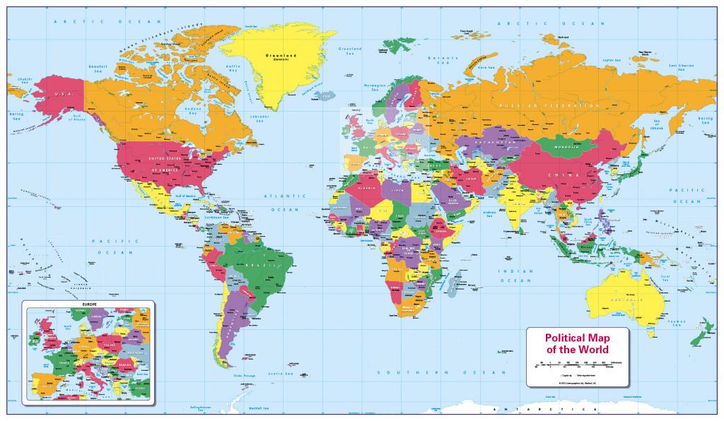
Description A colourful, easy to read children’s map of the World showing the countries, their capitals main towns and rivers. Ideal for the home or school classroom. Contact us for encapsulated or framed canvas prints. Scale 1:40 million; size 1020 x 595mm.
Related products
-
Boxers Children’s Physical map of the World $ 18.01 Select options This product has multiple variants. The options may be chosen on the product page
-
Boxers Artistic World Map (Giant) $ 60.07 Select options This product has multiple variants. The options may be chosen on the product page
-
Boxers Colour blind friendly Political World Map (large) $ 21.62 Select options This product has multiple variants. The options may be chosen on the product page
-
Boxers Artistic World Map (large) $ 26.42 Select options This product has multiple variants. The options may be chosen on the product page